
PR3 - Trail of Cangostas
Trail of Cangostas
Description: Cangosta is an overused word in Braga archaism mean narrow footpath, irregular route, on dirt or not, at the periphery of a village, between walls and poorly built fences, snapped by the coating of weeds and wild plants. This will be the main theme of this route where you can see much of small and interesting cangostas, which were recovered and reclaimed, as brands and testimony of other times.
Location: Esposende Council, Antas Parish, S. Paio
Starting Point: Picnic in Azevedo Area
Path Type: Small circular route.
Scope: Historic, scenic and cultural
Distance: 11,83 Km
Difficulty level: Easy/Average
Best Season: All year.
Cartography: Military Map Nº 54, Army Geographic Institute 1/25000 scale map.
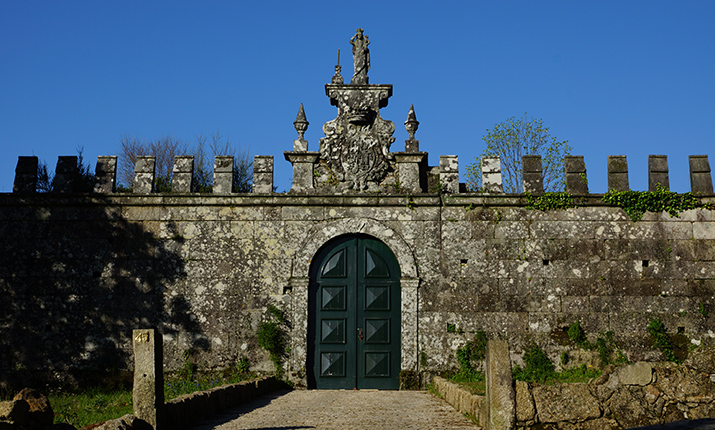
Points of Interest: Menhir of Antas, S. Paio das Antas Parish Church, Chruch Cross, Medieval inscriptions at the Antas Church, Mound of Soleimas, Quinta de Filipe, Paul das Feiticeiras, Font of Barrugueira, Oliveira sidewalk, N. Sra da Agra Chapel, N. Sra dos Remédios Chapel, Quinta of Belinho, N Sra of Rosário Chapel, Alminhas from Quinta of Belinho and Suvidade of Belinho.
Google Maps: https://bit.ly/3wI4xxK
Wikiloc: https://goo.gl/kgThgZ
Alltrails: https://bit.ly/3fXUTvD
Brochure: https://goo.gl/BXwmRf


